Boston is one of the most walkable major cities in North America — but a lot of visitors over-rely on the T and miss the point. The good Boston is a city where neighborhoods sit a half-mile apart, where the Freedom Trail isn’t a metaphor, and where a single day can move between Beacon Hill, the North End, the Common, and Back Bay on foot. The subway is useful, but in most cases not as useful as just walking out the hotel door.
Boston is small for a major city
The thing that surprises visitors most: Boston proper is one of the more compact major cities in the US. Downtown to Back Bay is about 1.5 km. Beacon Hill to the North End is under 2 km. The Public Garden to the Seaport is a 25-minute walk along the water. The whole “tourist Boston” — Common, Beacon Hill, Government Center, the North End, the waterfront, Back Bay, the Seaport — fits inside a 3 km radius.
This is also why the T (MBTA subway) sometimes works against visitors. A T ride is often 15–20 minutes door-to-door because of stairs, waits, and walks to the platform. The same trip on foot is often 15 minutes through more interesting streets.
What this means for the trip: pick a central base, walk most days, and use the T for genuinely long jumps.
Picking a base: five areas, five different versions of the trip
Back Bay — The default first-time base. Brownstone-lined Newbury Street, Boylston Street’s shops, walking access to the Common, the Public Garden, Beacon Hill, and the Seaport. Multiple T stations (Copley, Hynes, Back Bay). Strong base for almost any first trip.
Beacon Hill — Smaller, quieter, more historic-feeling. Cobblestone, Federal-style rowhouses, the State House. Hotel options are thinner here (mostly the Liberty and a couple of boutiques), but walking distance to everything. Strong choice for a slower, more architecture-focused visit.
North End — Boston’s Italian neighborhood and historically its densest. Narrow streets, family-run restaurants, Paul Revere’s House. Limited hotels (a few boutiques), but the neighborhood density is unusual for the US. Strong choice for a food-focused trip.
Seaport — The newer, water-facing district built on what used to be parking lots. Modern hotels, ICA museum, harbor views. Tradeoff: feels less “Boston” than the older neighborhoods. Strong choice if you want a contemporary, business-adjacent base with easy access to the waterfront and the airport.
Cambridge (across the river) — Harvard and MIT, Harvard Square, the Charles River esplanade. Quieter than Boston proper, with its own restaurant scene. T-connected via the Red Line. Tradeoff: every Boston-side trip becomes a T ride. Strong choice for a longer trip or a second-base option.
Theater District / Downtown Crossing is fine but generic — hotels there work logistically but don’t have the character of Back Bay or Beacon Hill.
The T and walking, in honest proportions
Walking is the main tool. Most trips inside the central Boston neighborhoods are 10–25 minutes on foot — usually shorter than the equivalent T ride after accounting for waits and transfers. The Freedom Trail’s 4 km (the red brick line painted on the sidewalk) actually covers about half of downtown’s visitor sights.
The MBTA (the T). Four colored subway lines plus the Silver Line bus rapid transit. Useful for:
- Cambridge and Harvard Square (Red Line)
- Fenway Park (Green Line)
- The airport (Blue Line + Silver Line SL1 free shuttle)
- South Station for Amtrak to NY and DC
- Trips to the Seaport from the central neighborhoods
Fare is $2.40 per ride with a CharlieCard or contactless tap. Trains can be slow — the Green Line in particular is more streetcar than subway — and infrastructure delays are a real thing.
Commuter rail. Useful for trips out of the city — Salem, Concord, Plymouth — and, during the 2026 World Cup, for reaching Gillette Stadium in Foxborough.
Walking the Freedom Trail. Not just for tourists. The trail covers Boston Common, the State House, King’s Chapel, the Old South Meeting House, the Old State House, Faneuil Hall, the North End, Paul Revere’s House, the Old North Church, and Bunker Hill in Charlestown. As a day’s anchor, it works.
A reasonable strategy: walk inside Boston, T to Cambridge or Fenway, commuter rail or Amtrak for everything farther.
Summer in Boston: warm, humid, and the season the city’s built for
June through August daily highs run 22–30°C (70s to mid-80s°F) with humidity that pushes the felt-temperature higher. Most days are clear or partly cloudy; thunderstorms happen but are usually brief.
What this means:
- Patios open up. The North End especially comes alive on summer evenings.
- The Charles River Esplanade is the city’s summer backyard — runners, walkers, free Boston Pops on July 4
- Faneuil Hall and Quincy Market get crowded; visit on weekday mornings if possible
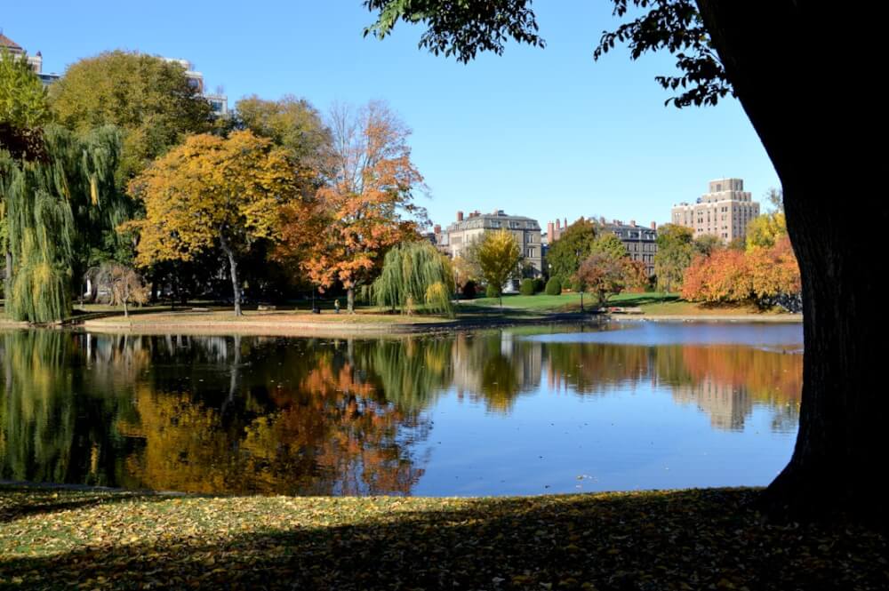
- The Public Garden’s Swan Boats run all summer
- Mid-July to early August can hit 30°C+ — schedule outdoor time at the day’s edges
A loose four-day shape that works
This is the rhythm that produces a good first Boston summer trip.
- Day 1 (arrival): Land at Logan, T into the city, settle into the base. Walk through Boston Common and the Public Garden in the late afternoon, dinner in Back Bay or the North End.
- Day 2 (Freedom Trail + North End): Walk the trail from the Common to Paul Revere’s House. Lunch in the North End. Italian dinner in the same neighborhood.
- Day 3 (Back Bay + Cambridge): Morning along Newbury Street, lunch at the Public Garden, T to Harvard for an afternoon walk through Harvard Yard and along the Charles.
- Day 4 (Seaport + waterfront, or longer day out): Either a slow Seaport day with the ICA and harbor walk, or a half-day at Fenway Park (game or tour) followed by an evening at one of the city’s outer neighborhoods (Somerville, JP).
For longer trips, the easy add-ons are Cape Cod (3 hours by car, real beach time), Salem (45 minutes by commuter rail, a half-day trip), or Maine’s south coast (Portland is 2 hours north on Amtrak Downeaster).
What disappoints first-time visitors
The honest list:
- The T is slow. It’s also genuinely useful — but expect 5–15 minute waits and slow Green Line streetcar speeds.
- The North End is small. It can feel saturated on summer evenings; book restaurants ahead.
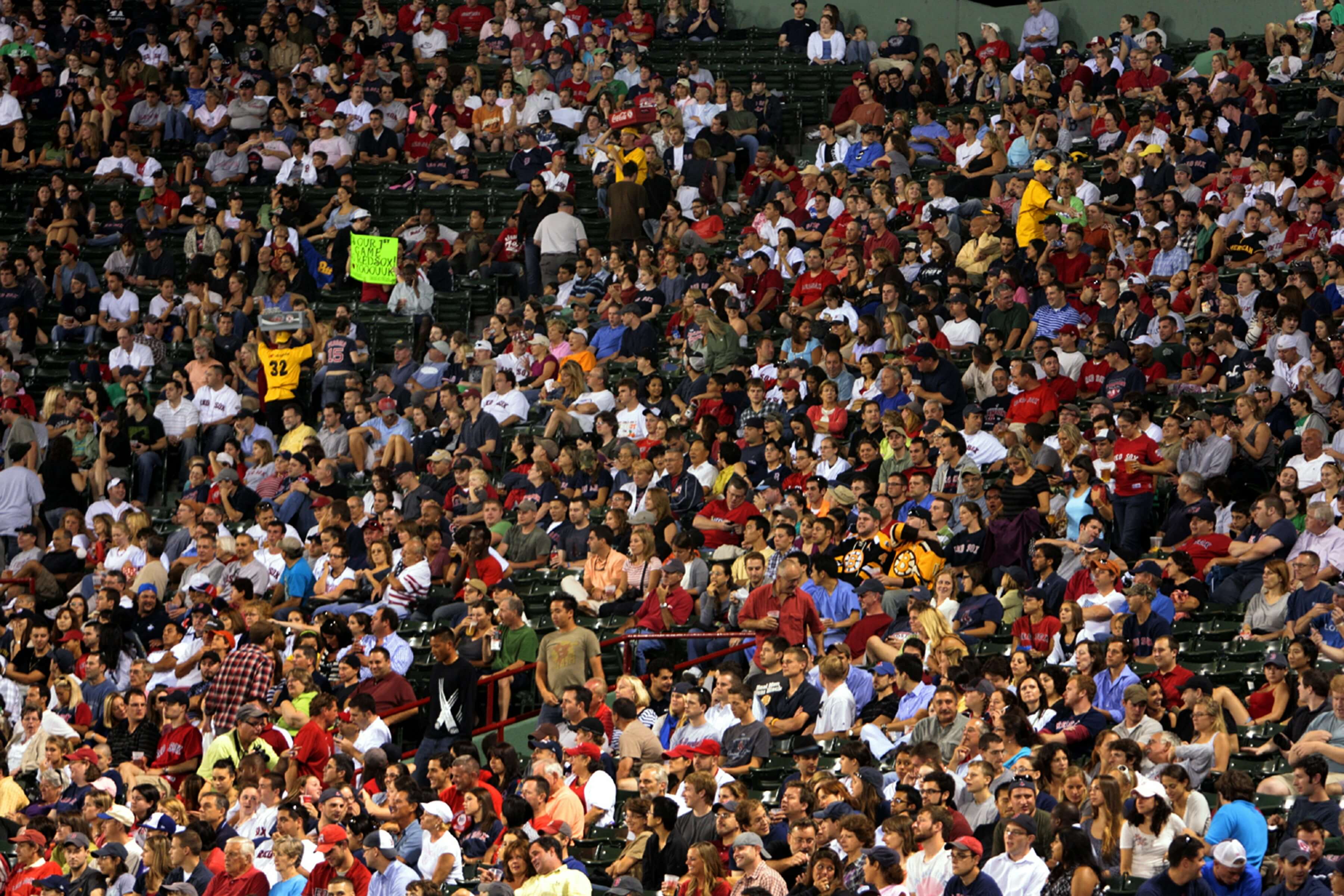
- Fenway games sell out. If a Red Sox game is on the must-do list, buy tickets weeks ahead.
- Boston ends earlier than expected. Restaurant kitchens close at 10 p.m. in many neighborhoods; nightlife is real but not late.
- The Freedom Trail’s painted line is sometimes missing. Construction and weather wear it down in places. Use the map.
None of this makes Boston a bad trip. It makes it a city that rewards a walking-first strategy, a base near the central neighborhoods, and the willingness to skip a T ride in favor of a 15-minute walk through a better neighborhood.
Visiting during the 2026 FIFA World Cup? Gillette Stadium hosts seven matches between June 13 and July 9, including a quarter-final. The stadium is in Foxborough, 50 km south of Boston — a real commuter rail trip, not a T ride. The match-day logistics — the MBTA Boston Stadium Train, the Stadium Express buses, the City Hall Plaza Fan Festival — sit in a separate piece: Train to Foxborough: Gillette Stadium at the 2026 World Cup.